NASA Maps Where Humans Rewrote Earth's Water Book
Two decades of gravity satellite data reveal 40 regions where irrigation, reservoirs, and land use—not climate—are reshaping freshwater storage.
By The space-quantum Desk
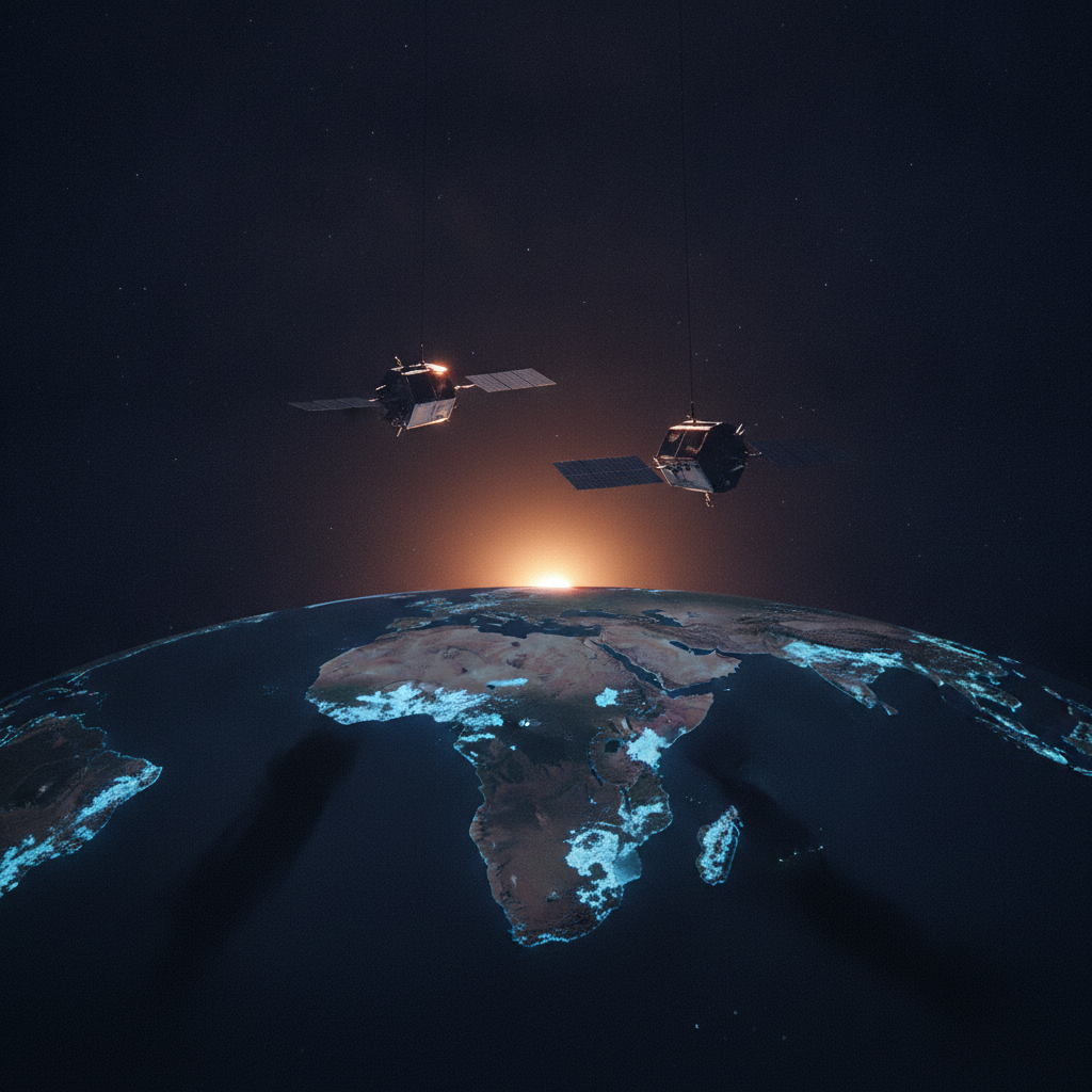
From California's Central Valley to the Karakum Desert, human hands have become as powerful as rain clouds in determining where freshwater sits. A new NASA study, drawing on more than two decades of satellite gravity measurements, has pinpointed 40 regions across the globe where irrigation, reservoir construction, and land-use change are driving long-term shifts in terrestrial water storage—often more forcefully than climate variability itself. [1]
The data come from the GRACE and GRACE-FO missions, each comprising two satellites flying in tandem. As the lead satellite passes over an area with greater mass, the slight change in gravity tugs at it, and instruments aboard the satellites measure the change in distance between them to infer water gains and losses below. [1]
The resolution upgrade exposed trends that had been hiding in plain sight. [1] In northern India, groundwater pumping for agriculture was already a known concern, but the refined analysis showed a steeper downward trend than previously realized—and retreating Himalayan glaciers accounted for only 15 percent of the decline there. [1] Similar groundwater losses surfaced in California's Central Valley, the southern High Plains of the U.S., and Chihuahua, Mexico, where long-term droughts have pushed farmers toward heavier reliance on pumped wells. [1]
[1] These activities were significantly related to terrestrial water storage trends on every nonpolar continent except Australia. [1]
Not all the human signals point downward. [1] A comparable trend appeared in northern Brazil's Maranhão state, where soybean fields have replaced forests and shrublands. [1] The resulting water storage trend might be explained in part by the efficient water use of cereal and legume plants and by Indigenous practices that help direct water into shallow aquifers, the researchers said. [1]
Large infrastructure projects also registered clearly on the new map. The Boguchany Reservoir on Russia's Angara River—the second-largest reservoir filled in the 21st century—produced the strongest water storage trend in nonpolar northern Asia. [1] At the other end of the engineering spectrum, the largely unlined Karakum Canal in Turkmenistan diverts river water across desert terrain; enough seeps into the ground along the way to show up as a measurable storage gain in the Karakum Desert. [1]
There is something almost counterintuitive about reading a planet's water ledger through gravity. Yet the methodology reframes what we thought we knew: the story of freshwater scarcity is not purely a climate story. It is also an accounting story—one written in pumps, canals, and crop choices made across generations.
[1] One path forward involves combining the high-resolution approach with standard monthly products to recover the temporal detail that was traded away for spatial sharpness—a tool that could, as O'Neill puts it, "help track how localized trends evolve in response to specific events like droughts or policy changes." [1]
The GRACE-FO mission continues to operate and release updated data products, with the RL06.3 data release improving both the low-degree harmonics time series and the corresponding Level-3 mass change fields. [2] As the archive lengthens, the satellite pair is becoming less an instrument for scientific curiosity and more an auditing system for the choices humanity is making with water—choices that, it turns out, now rival the weather.
This could help track how localized trends evolve in response to specific events like droughts or policy changes.Mary Michael O'Neill